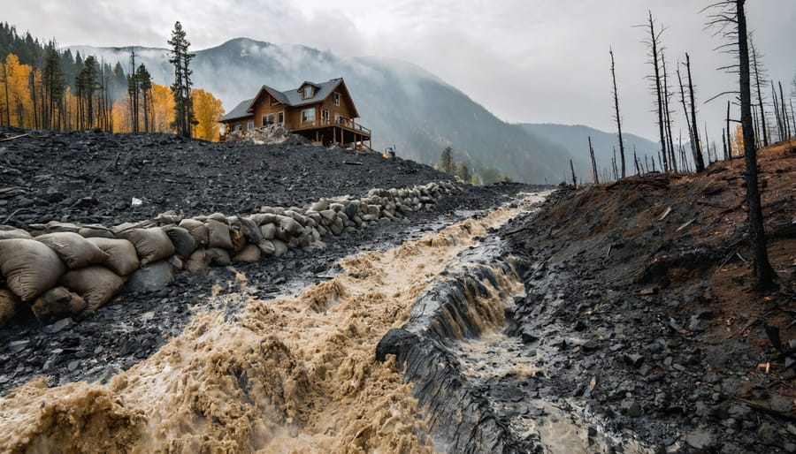
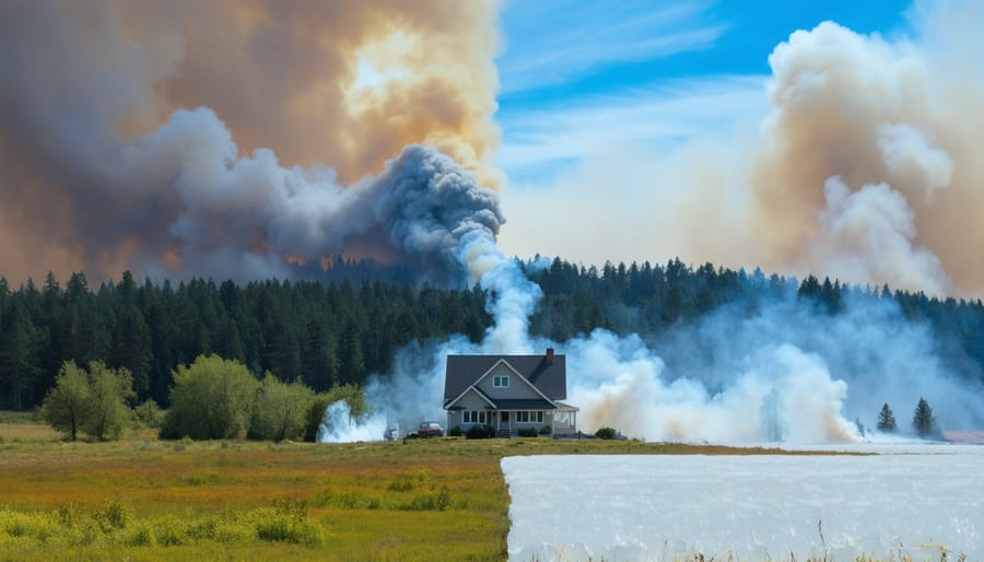
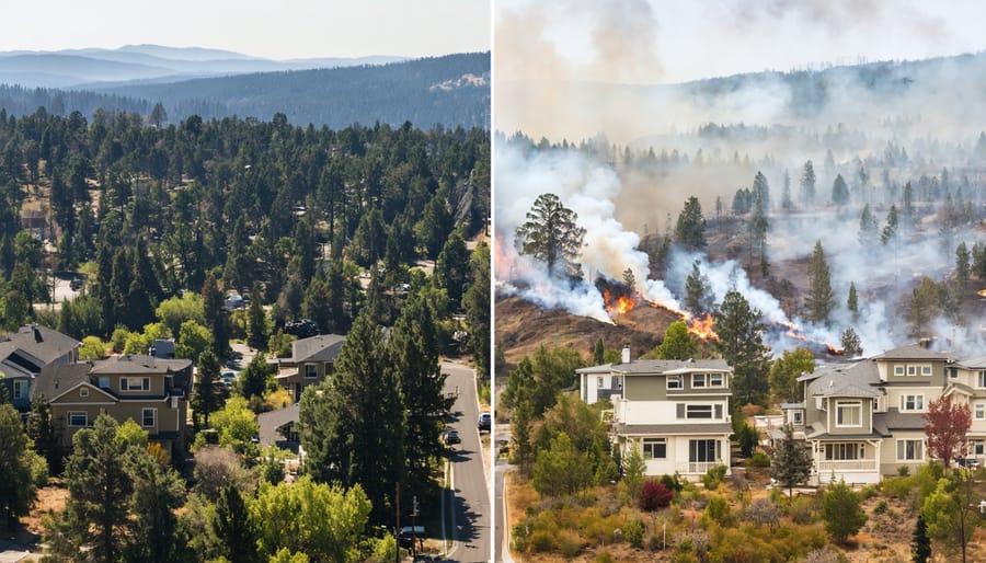
Wildfires destroyed over 18 million acres across the United States in recent years, leaving property owners facing devastating financial losses that often exceed insurance coverage limits. The average wildfire claim now surpasses $500,000, yet most homeowners and real estate professionals lack basic preparedness training that could reduce property damage by up to 80%. Online wildfire training programs have emerged as the most accessible solution for communities seeking to protect property values, secure favorable insurance rates, and minimize catastrophic losses.
These digital courses offer flexibility that traditional in-person …
Continue reading "Online Wildfire Training Could Save Your Property (And Your Insurance Premiums)"